| Attachment | Size |
|---|---|
| Shapefile (for use with GIS Software) | 4.06 KB |
| KMZ File (for use with Google Earth) | 4.22 KB |
Map Type
Map Theme
Version Date
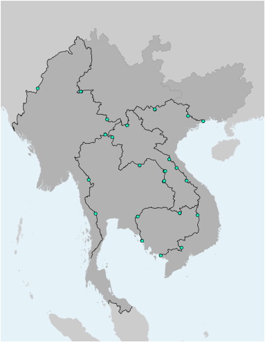
This file contains the locations (points) of Border Crossing Facilities (BCF) in the Greater Mekong Subregion. Each BCF is further characterized by its name, country, alignment with an Economic Corridor, and status of the facility (adequacy). The file is available as Shapefile (for use with Desktop-GIS software) and KMZ (for use with Google Earth).